Generic forecasts tell you about the day. Weather4Fly is designed for the moment before takeoff—when wind, gusts, rain, visibility, geomagnetic activity and airspace must become a decision.
01 / DECISION
Readable in one glance
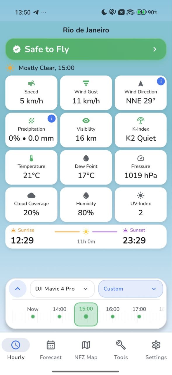
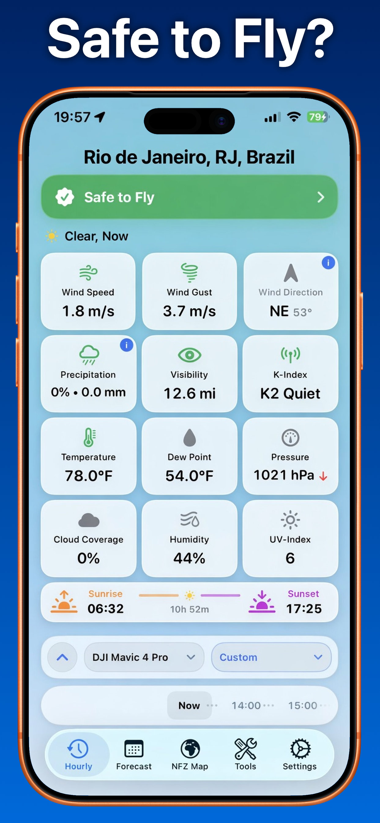
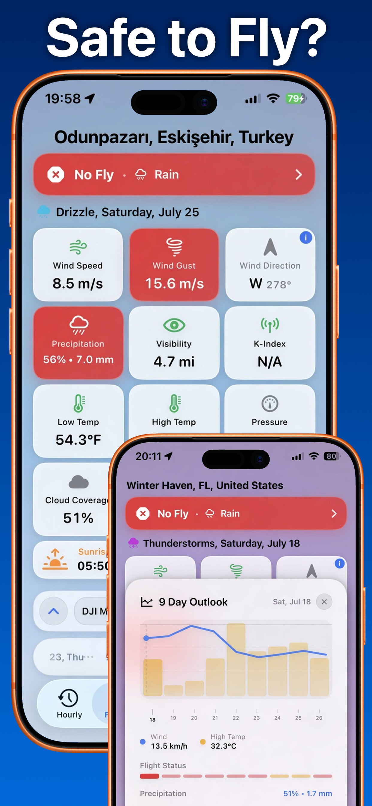
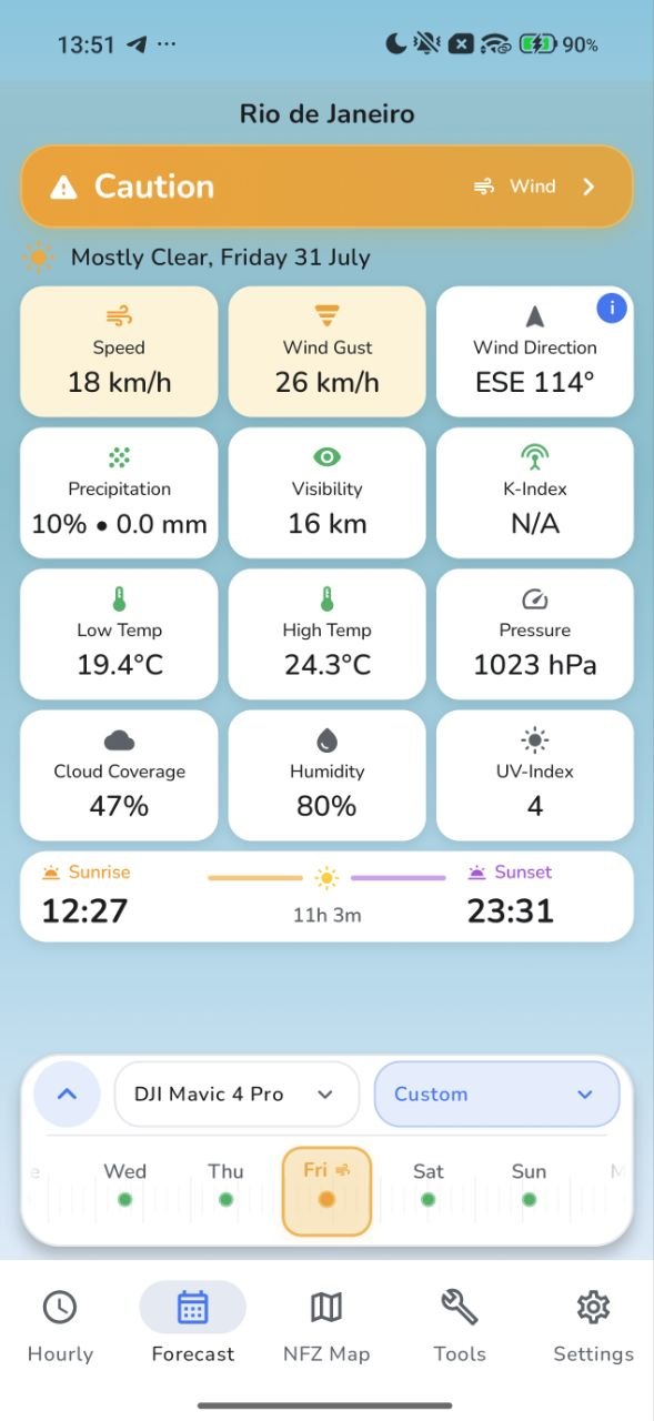
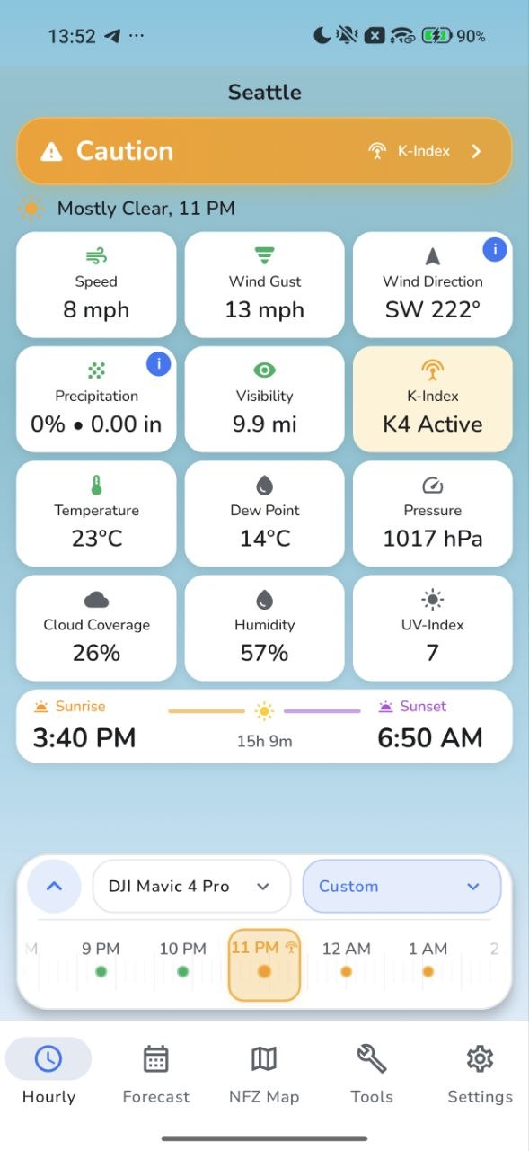
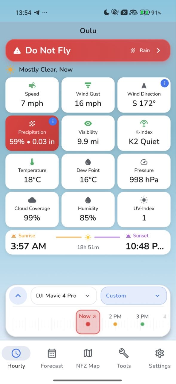
Safe, Caution or Do Not Fly appears first. Every contributing condition remains visible underneath, so the verdict is never a black box.
Safe to Fly
All selected limits are clear
02 / TIME
Move through the forecast
Scrub Hourly and Forecast timelines by touch—or tilt your phone and step through time without covering the weather cards.
NOW+1H+2H+3H
03 / AIRCRAFT
Your hangar, your limits
Keep multiple aircraft in My Hangar and switch instantly. The selected drone and location stay in sync between Hourly and Forecast.
DJI FlipDJI Mavic 4 ProCustom FPV
Field tools
More than surface weather.
Weather4Fly keeps the deeper checks close without turning the home screen into an instrument panel you need a manual to read.
01
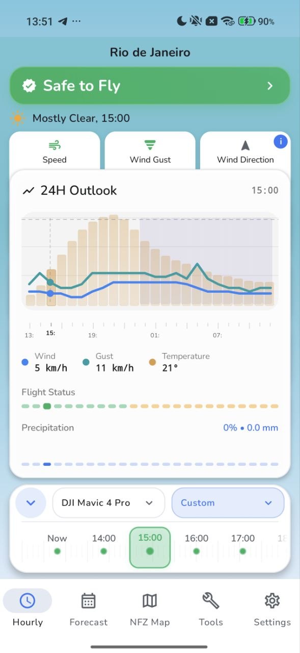
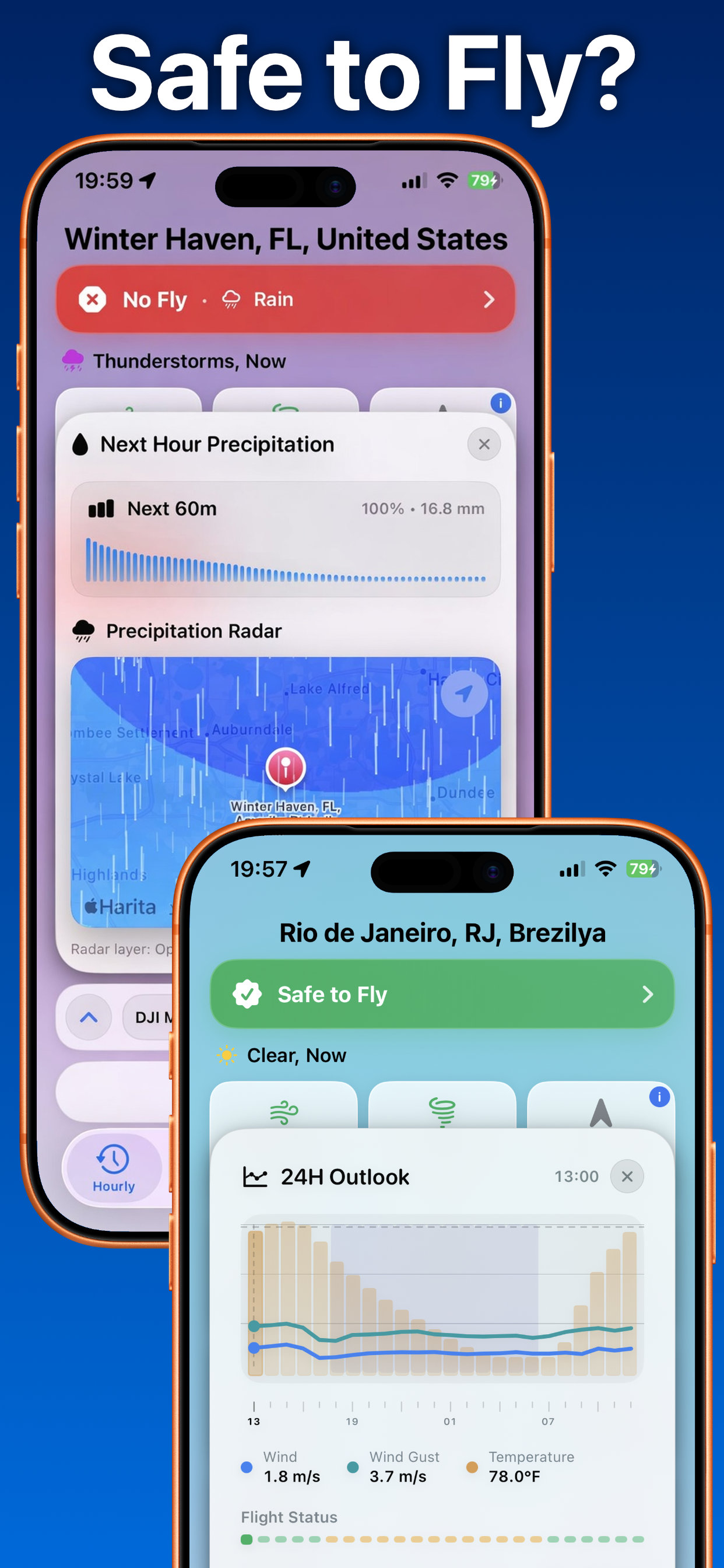
24-hour and 9-day outlooks
See how wind, gust, temperature, precipitation and flight status evolve.
02
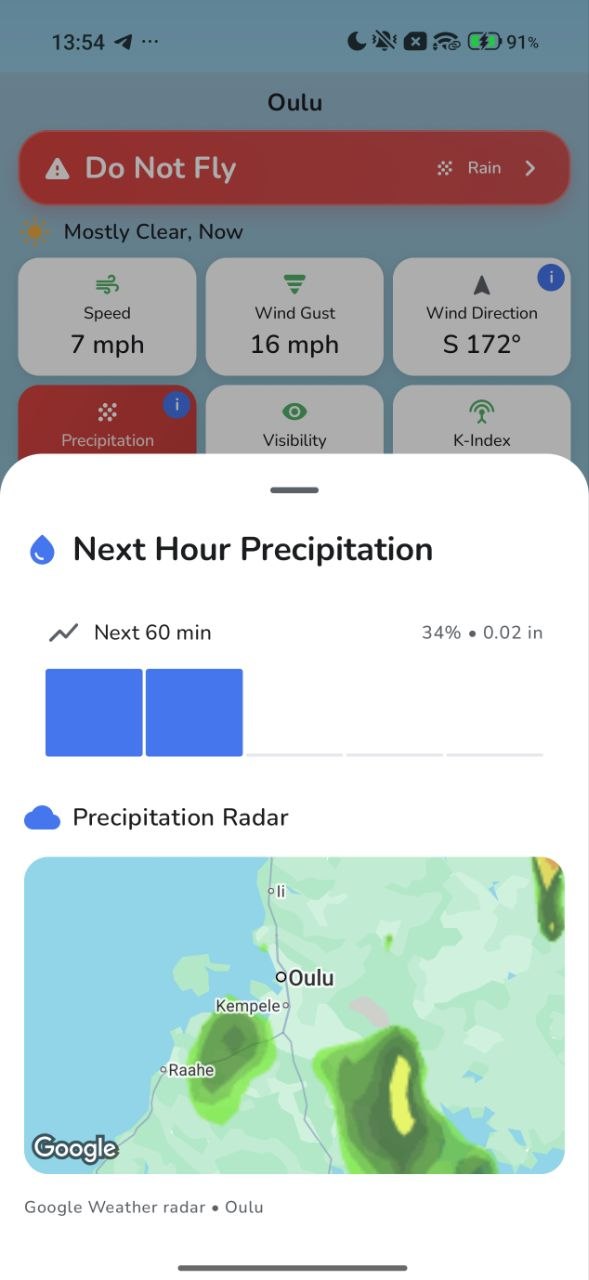
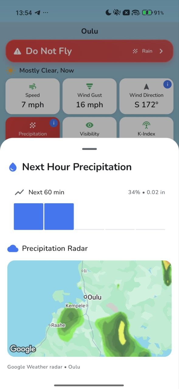
Next-hour precipitation
Review the immediate rain signal and radar before committing to launch.
03
Wind by altitude
Configure visible levels up to 1,000 m and choose low-to-high or high-to-low order.
04
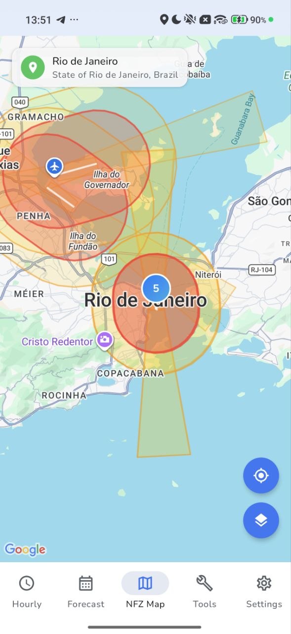
NFZ map and airspace awareness
Put weather and airspace context into the same pre-flight workflow.
05
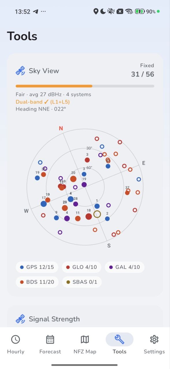
GNSS sky view
Inspect visible and fixed satellites, signal strength and constellation mix.
WIND / ALTITUDE
1000 m31 km/h
500 m22 km/h
120 m14 km/h
22.9068° S 43.1729° W
Weather meets airspace
One less tab before takeoff.
The NFZ map adds nearby airspace context to the same app you use for weather. It is a planning and awareness layer—not authorization and not a replacement for official sources.
Native to each platform. Recognizably the same app.
iPhone, Apple Watch and Android share the same flight language while respecting the navigation and interaction patterns of each platform.
Designed for the field
Quiet interface. Serious information.
01
Glanceable
The verdict, risk factor and current conditions sit where your eyes look first.
02
Drone-aware
Limits follow the aircraft you select, not a one-size-fits-all weather threshold.
03
Localized
Language, time, distance, speed, temperature and precipitation units adapt to you.
04
Privacy-conscious
No account, no advertising profile and no location history on Weather4Fly servers.
Flight notes
Questions before takeoff.
01What does the Safe / Caution / Do Not Fly decision mean?+
Weather4Fly compares the selected drone profile with weather and flight-related thresholds. The verdict is a planning aid; the pilot remains responsible for the final decision and for checking official restrictions.
02Can I use my own drone model?+
Yes. Add drones to My Hangar, choose from the catalog or create a custom profile. Hourly and Forecast use the same active drone and location.
03Does Weather4Fly show wind above ground?+
Yes. Wind by Altitude can show selected levels up to 1,000 metres, with a user-defined order. This helps reveal conditions that a surface-only forecast can miss.
04Does the app include precipitation radar and airspace information?+
Yes. Weather4Fly includes next-hour precipitation and radar where the data is available, plus an NFZ map for airspace awareness. Always verify restrictions with official sources.
05Is Weather4Fly available on Android?+
The Android app is complete and is being prepared for its Google Play launch. The Google Play button on this website will become active as soon as the store listing is live.
06Does Weather4Fly require an account?+
No account is required. Your selected drone, hangar and preferences are stored locally on your device.
Your next pre-flight check
Make the conditions readable.
Choose your aircraft. Choose your location. Let Weather4Fly organize the rest.